SKU: 52785
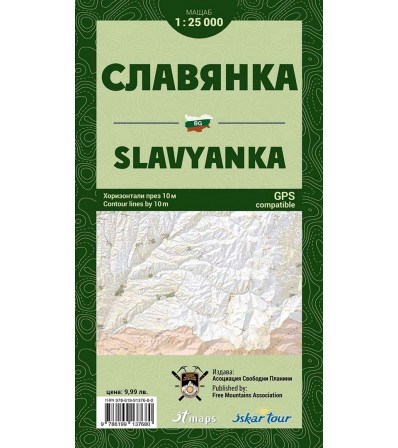
The first, print edition of Slavyanka map is in map scale 1:25000 and contour lines by 10 meters, with many new details on topography, much improved design elements, for convenient and easy to read and all-new, very detailed terrain.
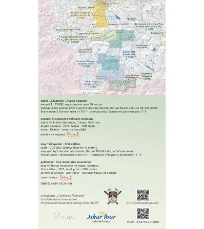
Reflected the boundaries of all protected areas within the area of the map, marked hiking trails, lodges, refuges, information centers, facilities ski areas and all details relevant to the scale.
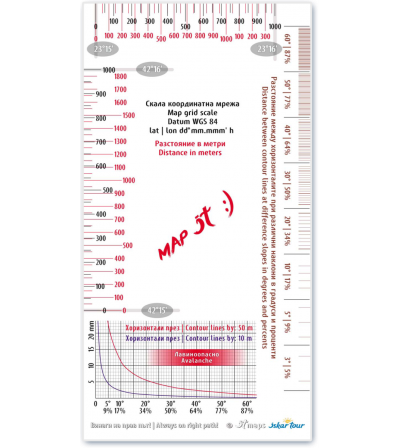
The map again is in 100% transparent PVC pocket and the new is, that the pocket has a hole at the top, short side. To the edition, we have implemented a new scale line with a graduated scale, for easy measurement of distance, a graduated scale from 1 decimal arc minute, for easy measurement of geographic coordinates and scale with distance between contour lines, for measure the angle of the slope, in degrees and percentage.
Detailed description
The first, print edition of Slavyanka map is in map scale 1:25000 and contour lines by 10 meters, with many new details on topography, much improved design elements, for convenient and easy to read and all-new, very detailed terrain.
Reflected the boundaries of all protected areas within the area of the map, marked hiking trails, lodges, refuges, information centers, facilities ski areas and all details relevant to the scale.
The map again is in 100% transparent PVC pocket and the new is, that the pocket has a hole at the top, short side. To the edition, we have implemented a new scale line with a graduated scale, for easy measurement of distance, a graduated scale from 1 decimal arc minute, for easy measurement of geographic coordinates and scale with distance between contour lines, for measure the angle of the slope, in degrees and percentage.


